

DUGWAY PROVING GROUND, Utah --A tried and true best business practice is to use all the information and technology at one's disposal to ensure success.
At Dugway Proving Ground, communication and coordination in a digital era means that operations have the best information for available for testing and training events.
Geographic Information Systems, GIS, has revolutionized the way military commanders and support teams function in a chemical or biological environment. They have come to rely on the easy-to-use geospatial mapping applications that can interact with laptops, tablets and smartphones.
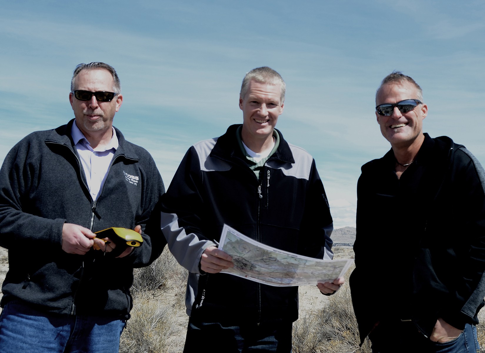
At the foreground of Dugway's mapping technology are three highly experienced mapmakers. Jared Mathis and Peter Hansen of the Environmental Technology Office, West Desert Test Center and Jason Raff of the garrison Environmental Programs Division. Together, they harness the power of geography using narrative text, images and multimedia content for Army testers and interagency partners.
"One of the first stops a test officer will make is to our office," Mathis said. "We support them as they prepare to brief a test project for the Initial Command Review."
A Initial Command Review is conducted before any test is green lighted. This means the test officer must be thoroughly prepared to explain the scope of the test, every stage of the process, and the expected results.
As a senior GIS analyst, Mathis has the expertise to recognize what data needs to be gathered to best assist the test officer's presentation. It's his job, as a mapmaker, to take the test officer's ideas and use GIS mapping technology to illustrate the specific test site and create supporting maps for the test.
"Test plans need to be clear and compelling," Mathis said. "It's my job to help simplify what the test officer and the customer envisions."
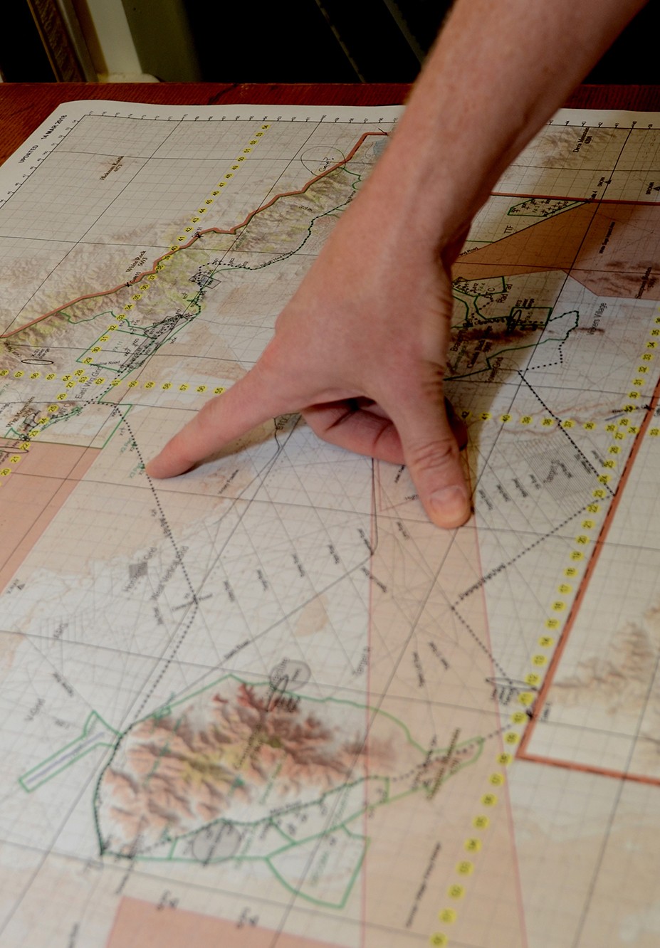
Once an overall map is created, it often leads to the creation of smaller sectional maps that show various facets of the planned test.
The map team will then also produces graphs or diagrams of the test site to ensure the command and the test team can easily visualize what test officer and customer expects to accomplish, Mathis explained. For the mapmakers it's about tailoring testing to a customer's specific requirements.
"We help coordinate activities such as movement routes or show where key test elements such as sensors and detectors should be placed," he said.
GIS mapping is both a science and an art. GIS programs like ArcGIS, use a raster to vector data conversion. This means they can take a variety of diverse statistics, figures, photographs and facts to convert or combine data for the advanced testing that takes place at the proving ground.
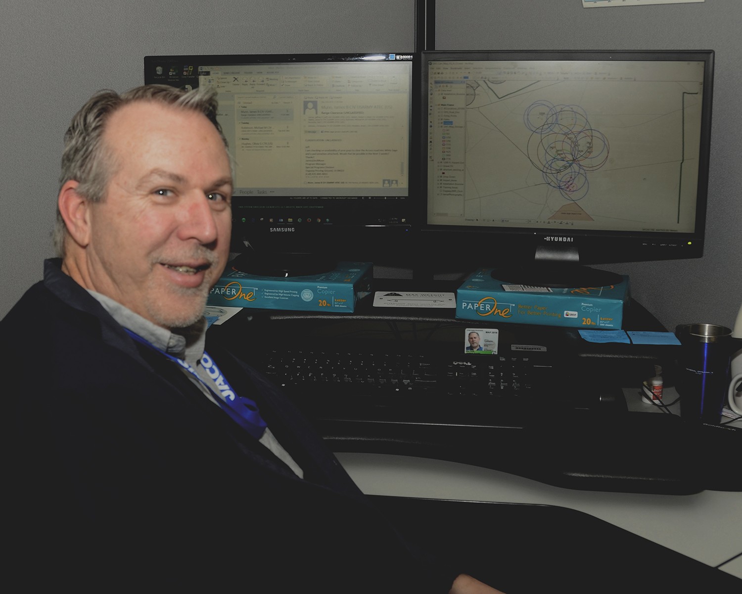
Peter Hansen, also a GIS analyst, is new to the Environmental Technology Office. He too is a experienced mapmaker. He also brings an artistic background that adds another layer of expertise to the mapmaking team.
He points to a map on his computer screen with a bird's eye view of Granite Mountain located near the center of the test range. The map shows the subtle blue and grey shading of the slopes,its fined detail looks much like art due to meticulous amount of information encoded into the map.
"I like the interactive spatial data. It provides a distinctive perspective beyond two-dimensional maps. These tools are especially fun when creating a 3-D image," Hanson said.
These highly detailed maps are an enormous advantage for the training events that attract military units and first responders from across the nation, he added.
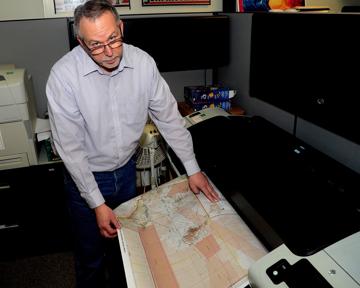
Jason Raff is Dugway's third mapmaker. He is also a geographer with Environmental Programs. As a geographer, he is an expert in the study of the earth, its atmosphere and how human activity is affected.
One of Raff's many tasks is to keep an environment database to document changes, track studies and follow-on actions to the critical physical properties of the test center.
"Mapping is a predictive tool that allows earlier tracking of what takes place in the test center's ecosystems," he said.
It also provides greater collaboration through all phases of military testing military decision making , testing and training.
Tracking testing, training and environmental studies at Dugway is no small task. Near the size of the state of Rhode Island, Dugway is an expansive geographical test area.
"Understanding what happens early in ecosystems can provide greater collaboration through all phases of military decision making," Raff added.
Mapmaking skills are a best business practice that continues to ensures that Dugway's test officers, its test teams and its customers have the best creative tools available for military readiness.


Social Sharing